

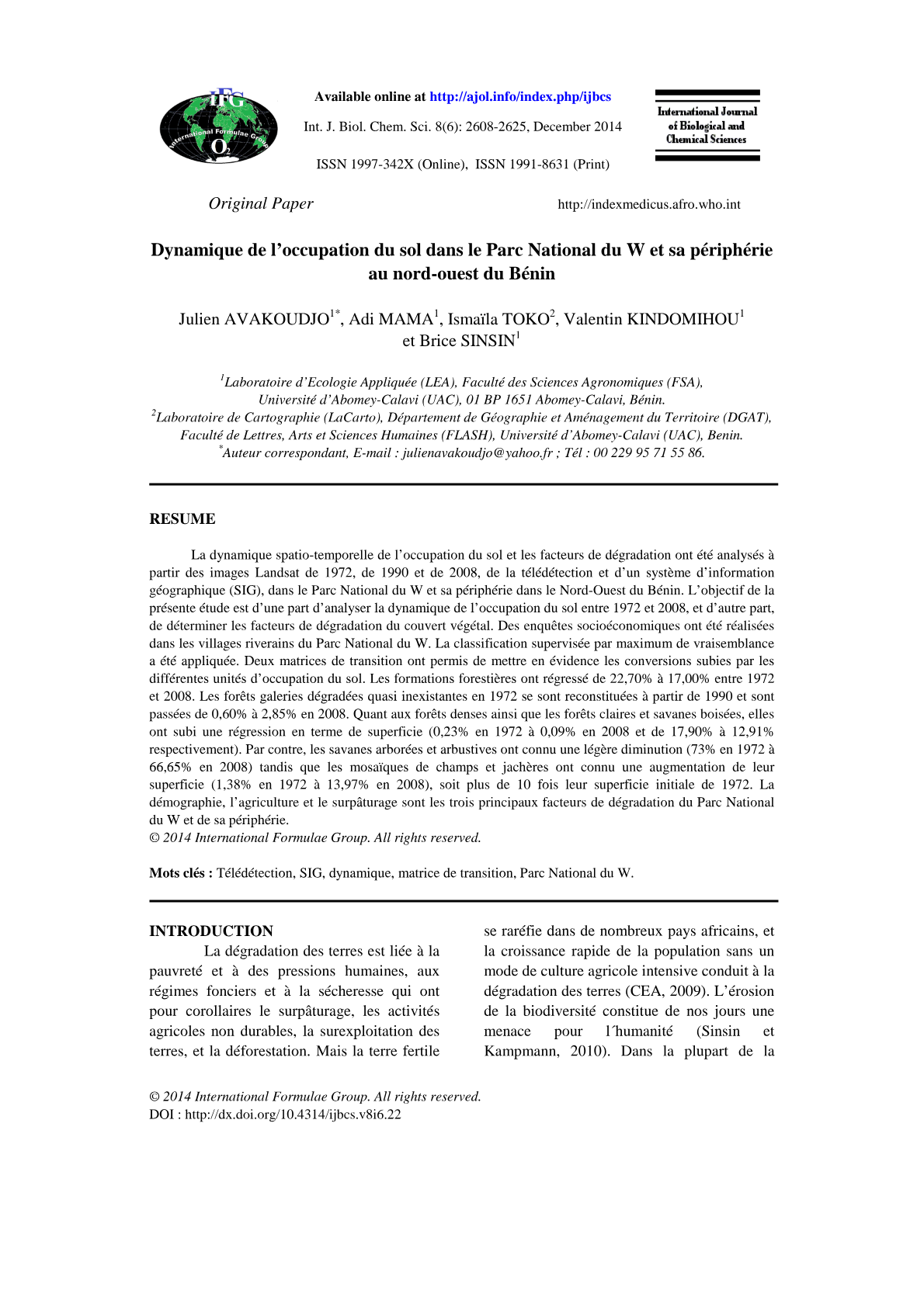

Cette étude aborde la problématique de la dégradation des terres et de l’érosion de la biodiversité en Afrique tropicale, un enjeu crucial au Bénin où le couvert végétal connaît une diminution rapide. L’objectif principal est d’analyser la dynamique spatio-temporelle de l’occupation du sol et d’identifier les facteurs de dégradation dans le Parc National du W et sa périphérie entre 1972 et 2008. Pour ce faire, les chercheurs ont employé une approche combinant l’analyse d’images satellitaires Landsat (1972, 1990, 2008) via la télédétection et un Système d’Information Géographique (SIG) pour une classification supervisée. Des enquêtes socioéconomiques ont également été menées auprès des populations riveraines pour contextualiser les pressions anthropiques. Les résultats révèlent une régression significative des formations forestières, passant de 22,70% à 17,00% sur la période étudiée, tandis que les mosaïques de champs et jachères ont connu une augmentation spectaculaire de 1,38% à 13,97%. La démographie, l’agriculture intensive et le surpâturage sont identifiés comme les principaux facteurs de cette dégradation, confirmant l’hypothèse d’une anthropisation croissante du paysage.
This study addresses the issue of land degradation and biodiversity erosion in tropical Africa, a critical challenge in Benin where vegetation cover is rapidly declining. The primary objective is to analyze the spatio-temporal dynamics of land use and identify degradation factors within the W National Park and its periphery between 1972 and 2008. To achieve this, researchers employed an approach combining the analysis of Landsat satellite images (1972, 1990, 2008) using remote sensing and a Geographic Information System (GIS) for supervised classification. Socioeconomic surveys were also conducted among riparian populations to contextualize anthropogenic pressures. The results indicate a significant regression of forest formations, decreasing from 22.70% to 17.00% over the study period, while crop and fallow mosaics experienced a dramatic increase from 1.38% to 13.97%. Demography, intensive agriculture, and overgrazing are identified as the main drivers of this degradation, confirming the hypothesis of increasing anthropization of the landscape.
Share with my friend :
![[Contrat de recherche - Octobre 2025] Contrat doctoral sur l'étude de composants de batterie à l’Institut Jean Lamour](https://ilminlibrary.com/wp-content/uploads/2025/06/1750062921729-pdf.jpg)
![[Appel à contributions] La quête d’une simplification du droit : enjeux, paradoxes et perspectives](https://ilminlibrary.com/wp-content/uploads/2025/02/appel_a_communication_la_quete_d_une_simplification_du_droit-pdf.jpg)




Avis
Il n’y a pas encore d’avis.